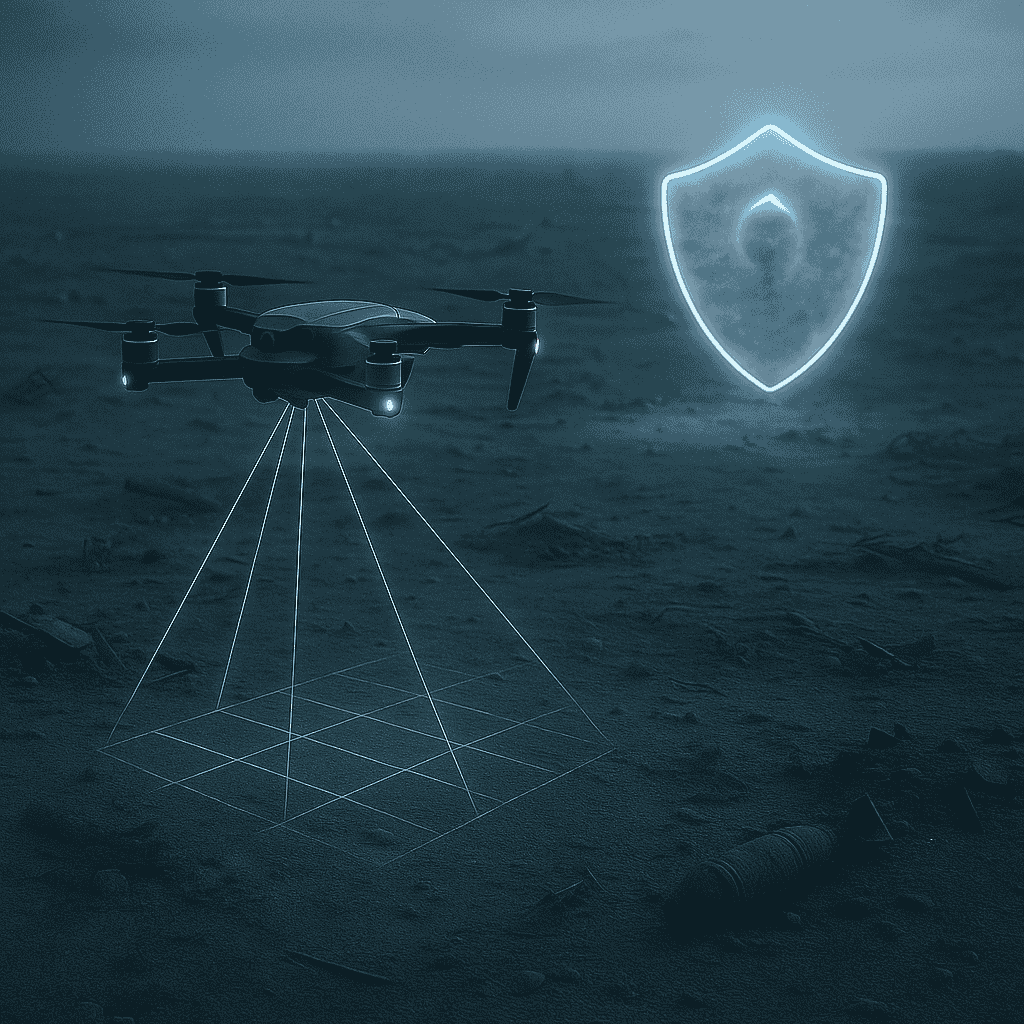
We combine unmanned systems, remote sensors, and intelligent data analysis to reduce human exposure in the most dangerous environments.
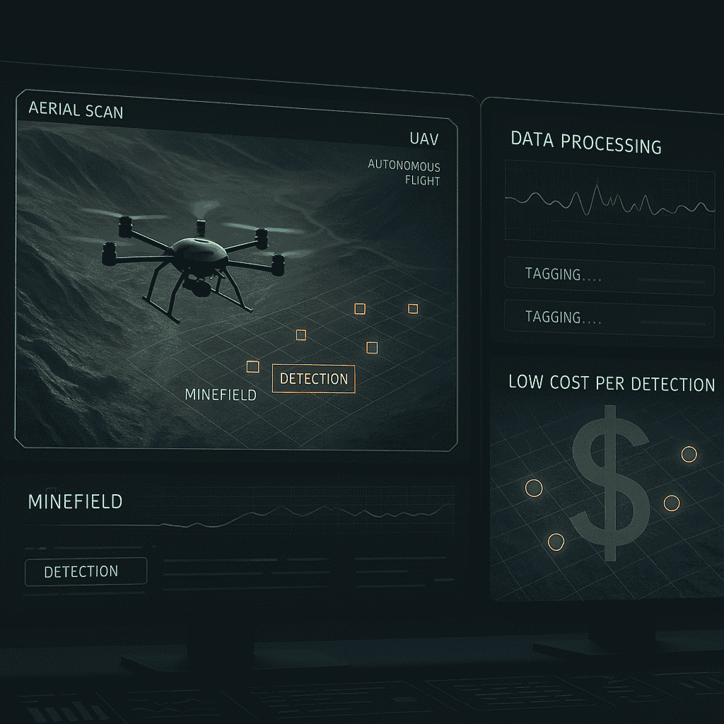
Our UAV-based systems detect more, faster — reducing labor time and maximizing efficiency with every scan.
Rapid scan of large terrains, instant threat detection , prioritize what matters most — so clearance teams can act faster and smarter
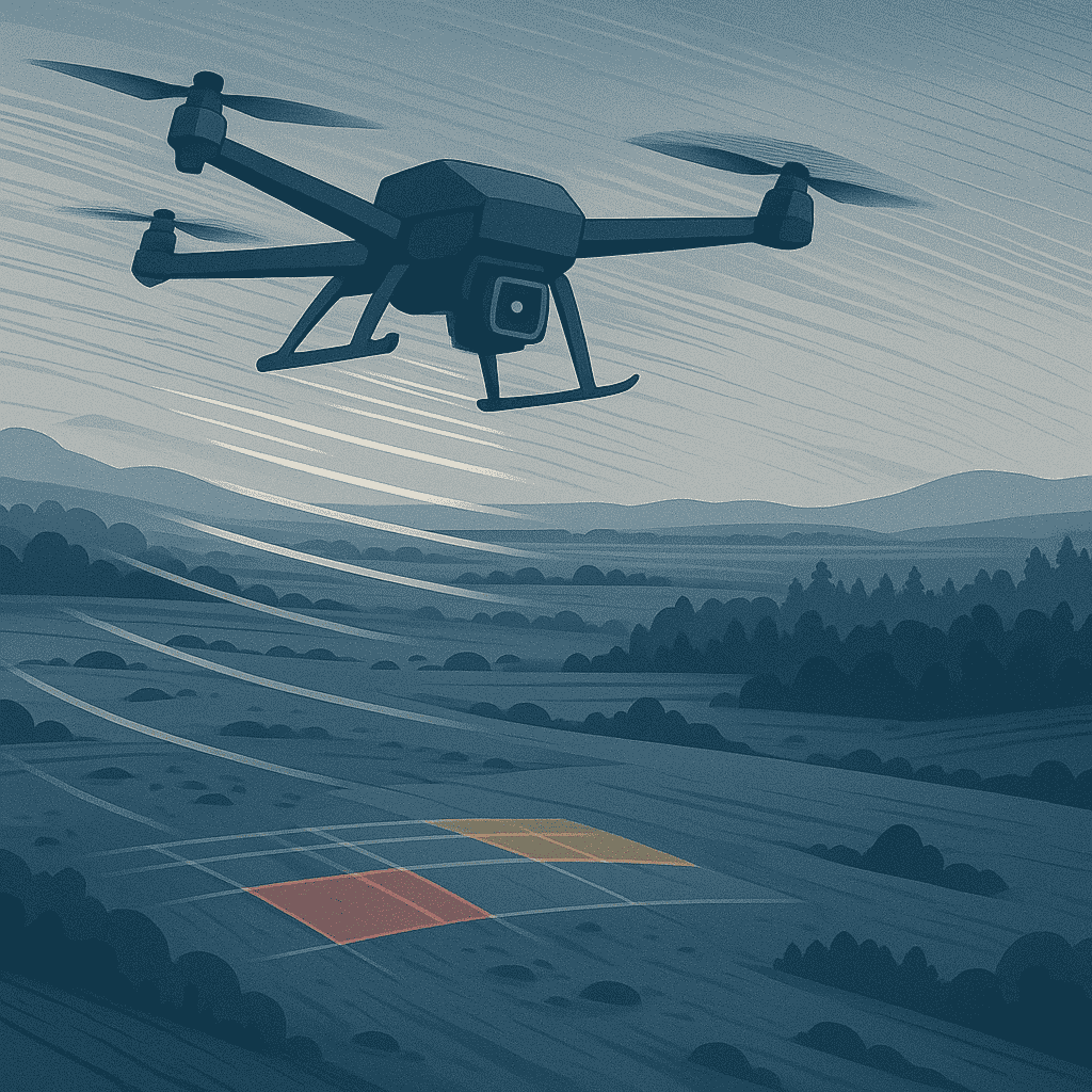
High-end multirotor and fixed-wing UAVs capable of carrying specialized payloads for low-altitude, high-precision surveys in challenging terrain
.png)
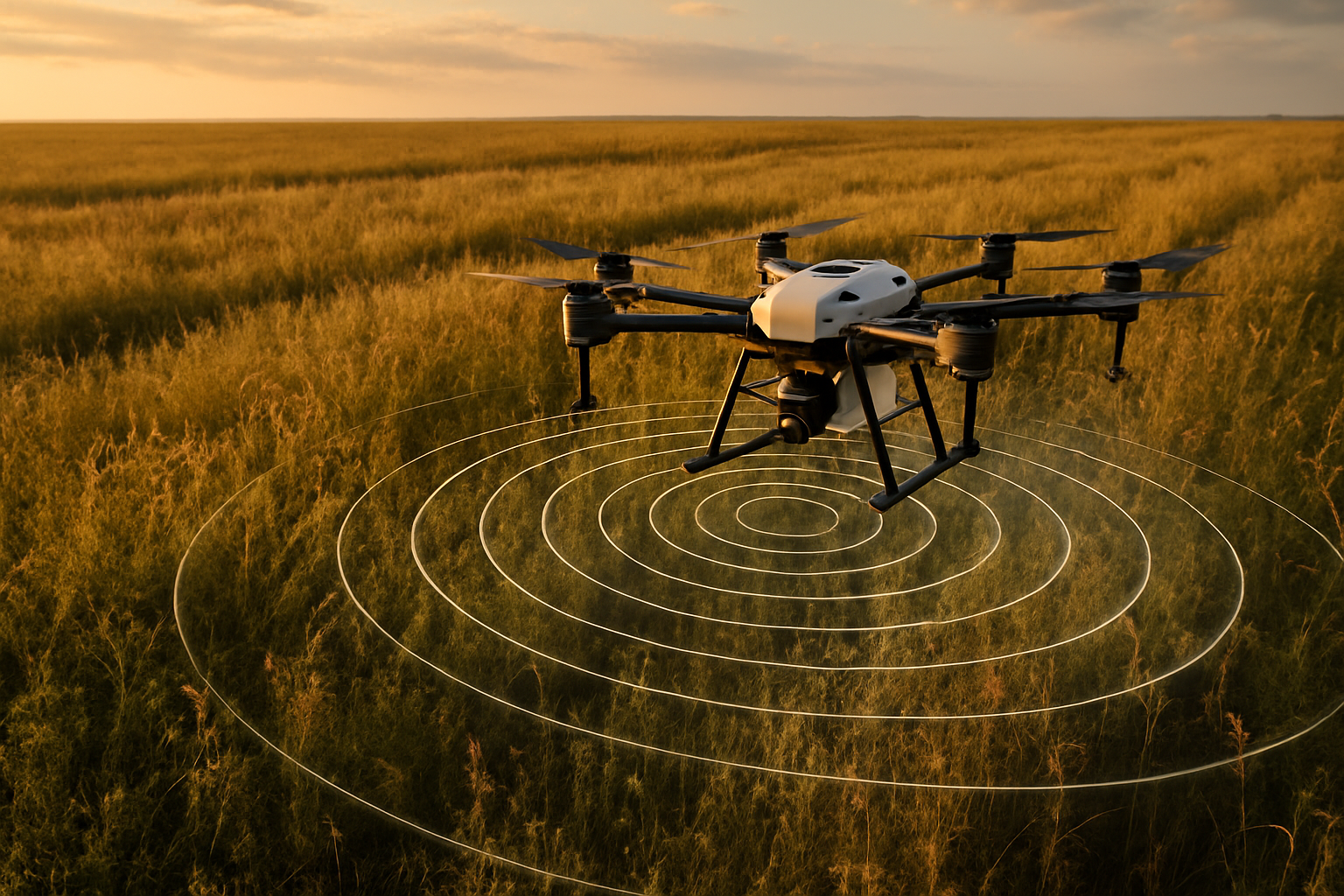
Advanced fluxgate and optically pumped magnetometers for detecting ferrous and non-ferrous explosive remnants. Designed for integration with UAVs and capable of detecting anomalies with sub-nanoTesla sensitivity
%20(1).png)
Real-time and post-mission data analysis tools for signal filtering, anomaly detection, and geospatial mapping. We support both OEM software and custom data workflows based on mission needs
.png)
Complete solutions including gimbals, terrain-following systems, GNSS RTK modules, and vibration-isolation mounts — ensuring accurate and stable data collection
.png)